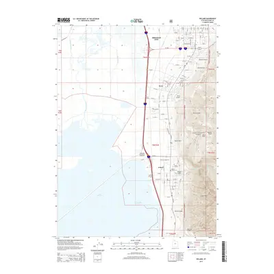
2014 Map of Willard
USGS Topo · Published 2014About this map
Brigham City and its southern neighbors anchor this 2014 survey, where the valley floor meets the steep western slopes of the Wasatch Range. The geography is defined by the sharp transition from the wetland systems of the Great Salt Lake, including the Reeder Overflow and Black Slough, to the high-elevation reaches of the Cache National Forest. The map captures the communities of Perry and Willard as they were established along the corridor between the mountains and the Willard Bay Reservoir. Genealogists will find substantial value in the locations of the Willard City Cem, Pioneer Cem, and Perry Cem. The landscape is deeply carved by water, with numerous drainages like Mathias Canyon and Evans Canyon descending toward the valley, feeding into man-made infrastructure such as the Perry Canal. This combination of natural hydrologic features and early 21st-century residential footprints provides a clear view of the area's development.
Find a feature on this map
79 named features on this map. Tap any name to fly to it.
Don’t see what you’re looking for? This feature index may not catch every label — zoom into the map to look around manually.
Map Details
Editions of this 2014 Willard Map
This is the sole edition of this map. No revisions or reprints were ever made.
Other maps of this area

1914 · Logan
USGS Topo · 1:125,000

1916 · Logan
USGS Topo · 1:125,000

1954 · Whistler Canal
USGS Topo · 1:24,000

1954 · Ogden
USGS Topo · 1:250,000

1954 · Brigham City
USGS Topo · 1:250,000

1955 · Plain City
USGS Topo · 1:24,000

1955 · Mantua
USGS Topo · 1:24,000

1955 · Plain City SW
USGS Topo · 1:24,000

1955 · Bear River City
USGS Topo · 1:24,000

1955 · Willard
USGS Topo · 1:24,000