
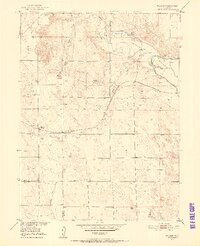
1951 Map of Willard
USGS Topo · Published 1952About this map
The high plains of Northeastern Colorado are defined here by the rugged Pawnee Hills and the winding course of Pawnee Creek. Located along the Chicago Burlington and Quincy railroad, the small settlement of Willard serves as the focal point for this rural landscape at the start of the 1950s. The map illustrates a transitional irrigation economy, showing both active infrastructure like the North Sterling Canal and defunct features such as the Riverside Canal (Aban'd) and various irrigation ditches.
Find a feature on this map
15 named features on this map. Tap any name to fly to it.
Don’t see what you’re looking for? This feature index may not catch every label — zoom into the map to look around manually.
Map Details
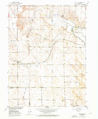
Editions of this 1951 Willard Map
3 editions found
Other maps of this area

1951 · Messex
USGS Topo · 1:24,000

1951 · Antelope Springs
USGS Topo · 1:24,000

1951 · Wild Horse Lake
USGS Topo · 1:24,000

1951 · Atwood NE
USGS Topo · 1:24,000

1951 · Merino
USGS Topo · 1:24,000

1951 · Atwood
USGS Topo · 1:24,000

1954 · Sterling
USGS Topo · 1:250,000

1958 · Sterling
USGS Topo · 1:250,000

1971 · Messex
USGS Topo · 1:24,000

1971 · Merino
USGS Topo · 1:24,000