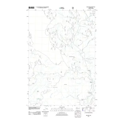
2011 Map of Willard
USGS Topo · Published 2011About this map
The Little White Salmon River dominates this landscape, winding southward toward the communities of Willard and Mill A. This 2011 survey captures the network of Forest Service roads, including Nat For Dev Rd 86 and Big Huckleberry Rd, which penetrate the complex terrain of the Gifford Pinchot area. The map documents significant local infrastructure such as the Willard National Fish Hatchery and recreational nodes like Little Wind River Camp and Moss Creek Campground.
Find a feature on this map
35 named features on this map. Tap any name to fly to it.
Don’t see what you’re looking for? This feature index may not catch every label — zoom into the map to look around manually.
Map Details
Editions of this 2011 Willard Map
This is the sole edition of this map. No revisions or reprints were ever made.
Other maps of this area

1926 · Hood River
USGS Topo · 1:125,000

1929 · Hood River
USGS Topo · 1:125,000

1953 · The Dalles
USGS Topo · 1:250,000

1956 · The Dalles
USGS Topo · 1:250,000

1957 · The Dalles
USGS Topo · 1:250,000

1957 · Bonneville Dam
USGS Topo · 1:62,500

1957 · Wind River
USGS Topo · 1:62,500

1957 · Willard
USGS Topo · 1:62,500

1957 · Hood River
USGS Topo · 1:62,500

1975 · Hood River NE
USGS Topo · 1:24,000