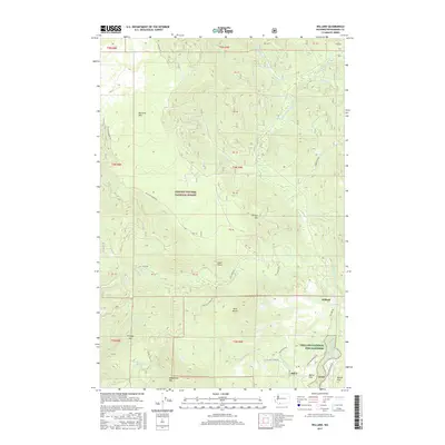
2017 Map of Willard
USGS Topo · Published 2017About this map
Mill A and the nearby Willard settlement serve as the primary hubs of activity in this section of the Gifford Pinchot National Forest. The landscape is defined by the steep drainage of the Little White Salmon River, which supports the Willard National Fish Hatchery near the southern boundary. To the west, the massive Big Lava Bed creates a unique volcanic terrain adjacent to peaks like Shingle Mtn and Augspurger Mtn.
Find a feature on this map
51 named features on this map. Tap any name to fly to it.
Don’t see what you’re looking for? This feature index may not catch every label — zoom into the map to look around manually.
Map Details
Editions of this 2017 Willard Map
This is the sole edition of this map. No revisions or reprints were ever made.
Other maps of this area

1926 · Hood River
USGS Topo · 1:125,000

1929 · Hood River
USGS Topo · 1:125,000

1953 · The Dalles
USGS Topo · 1:250,000

1956 · The Dalles
USGS Topo · 1:250,000

1957 · The Dalles
USGS Topo · 1:250,000

1957 · Bonneville Dam
USGS Topo · 1:62,500

1957 · Wind River
USGS Topo · 1:62,500

1957 · Willard
USGS Topo · 1:62,500

1957 · Hood River
USGS Topo · 1:62,500
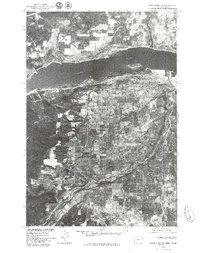
1975 · Hood River NE
USGS Topo · 1:24,000