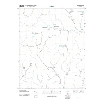
2010 Map of Willette
USGS Topo · Published 2010About this map
Salt Lick Creek and Jennings Creek define the drainage patterns of this central Tennessee landscape, where a dense network of hollows suggests a deeply dissected topography. The presence of Steam Mill Hollow points to historical local industry, while numerous family-named locations such as McCormick Hollow, Minchey Hollow, and Cox Hollow reflect the genealogical heritage of the area.
Find a feature on this map
90 named features on this map. Tap any name to fly to it.
Don’t see what you’re looking for? This feature index may not catch every label — zoom into the map to look around manually.
Map Details
Editions of this 2010 Willette Map
This is the sole edition of this map. No revisions or reprints were ever made.
Other maps of this area

1925 · Gainesboro
USGS Topo · 1:62,500

1929 · Gainesboro
USGS Topo · 1:62,500

1929 · Tompkinsville
USGS Topo · 1:62,500

1931 · Red Boiling Springs
USGS Topo · 1:62,500

1932 · Carthage
USGS Topo · 1:62,500

1956 · Corbin
USGS Topo · 1:250,000

1958 · Corbin
USGS Topo · 1:250,000
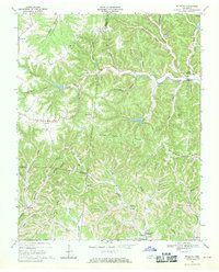
1968 · Willette
USGS Topo · 1:24,000
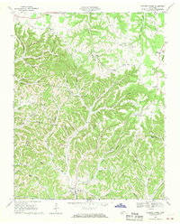
1968 · Pleasant Shade
USGS Topo · 1:24,000
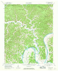
1968 · Whitleyville
USGS Topo · 1:24,000