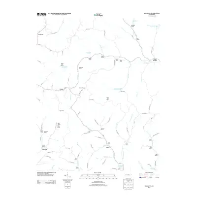
2013 Map of Willette
USGS Topo · Published 2013About this map
Willette serves as a central hub in this corner of North-Central Tennessee, where a network of winding hollows and ridges dictates the movement of travel and water. The map shows a landscape dominated by family-named terrain features like Hance Hollow, Donoho Hollow, and Wilson Hollow, reflecting generations of local land use. Water management is evident through a series of numbered reservoirs, including Lake Number Sixteen and Jennings Creek Lake Number Eighteen, which dot the northern reaches of the quadrangle. In the south, the terrain descends toward the Cordell Hull Reservoir, where the Wartrace Cr and Halls Br converge near Milltown. The presence of Steam Mill Hollow suggests the area's earlier industrial roots in timber or milling, while the intricate system of farm-to-market roads like Cotton Hollow Rd and Goose Horn Rd connects small settlements such as Goose Horn and North Springs.
Find a feature on this map
94 named features on this map. Tap any name to fly to it.
Don’t see what you’re looking for? This feature index may not catch every label — zoom into the map to look around manually.
Map Details
Editions of this 2013 Willette Map
This is the sole edition of this map. No revisions or reprints were ever made.
Other maps of this area

1925 · Gainesboro
USGS Topo · 1:62,500

1929 · Gainesboro
USGS Topo · 1:62,500

1929 · Tompkinsville
USGS Topo · 1:62,500

1931 · Red Boiling Springs
USGS Topo · 1:62,500

1932 · Carthage
USGS Topo · 1:62,500

1956 · Corbin
USGS Topo · 1:250,000

1958 · Corbin
USGS Topo · 1:250,000
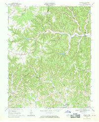
1968 · Willette
USGS Topo · 1:24,000
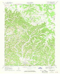
1968 · Pleasant Shade
USGS Topo · 1:24,000
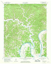
1968 · Whitleyville
USGS Topo · 1:24,000