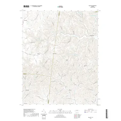
2019 Map of Willette
USGS Topo · Published 2019About this map
Prosperity and Goose Horn anchor this rural landscape where Macon, Jackson, Smith, and Clay counties meet. The terrain is defined by a dense network of hollows, such as Steam Mill Hollow, Rockhouse Hollow, and Wolf Hollow, which dictate the winding paths of local roads like Willette Rd and Carthage Rd. Settlement patterns follow the valley floors of Jennings Creek and its many tributaries, including Wartrace Cr and Hudson Cr. Genealogists will find several family burial grounds, including Thomas Cem, Clark Cem, and Draper Cem, often situated on the edges of these small communities. The presence of numerous numbered reservoirs, such as Lake Number Seventeen and Lake Number Sixteen, suggests a managed watershed designed for flood control and local agriculture in this dissected upland region.
Find a feature on this map
99 named features on this map. Tap any name to fly to it.
Don’t see what you’re looking for? This feature index may not catch every label — zoom into the map to look around manually.
Map Details
Editions of this 2019 Willette Map
This is the sole edition of this map. No revisions or reprints were ever made.
Other maps of this area

1925 · Gainesboro
USGS Topo · 1:62,500

1929 · Gainesboro
USGS Topo · 1:62,500

1929 · Tompkinsville
USGS Topo · 1:62,500

1931 · Red Boiling Springs
USGS Topo · 1:62,500

1932 · Carthage
USGS Topo · 1:62,500

1956 · Corbin
USGS Topo · 1:250,000

1958 · Corbin
USGS Topo · 1:250,000
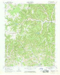
1968 · Willette
USGS Topo · 1:24,000
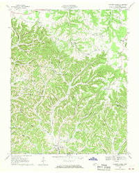
1968 · Pleasant Shade
USGS Topo · 1:24,000
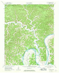
1968 · Whitleyville
USGS Topo · 1:24,000