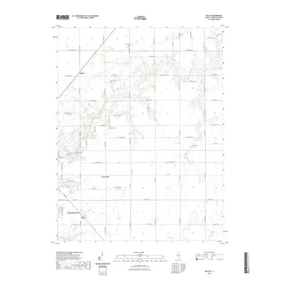
2021 Map of Willeys
USGS Topo · Published 2021About this map
Taylorville and its surrounding rural townships reveal a landscape defined by organized agriculture and early settlement patterns along the waterways of Christian County. The terrain is structured by a dense grid of range and township roads, which connect several historic burial grounds including Old Stonington Cem and Ponting Cem. Small rural clusters like Willeys and Hewittville serve as local landmarks within this agrarian expanse. Water features such as Flat Branch and Spring Cr create natural breaks in the rectangular road system, leading south toward the waters of Taylorville Lake. For genealogists, the map is particularly useful for locating family-named cemeteries such as Tanner Cem, Harris Cem, and Long Cem, which are often the last visible indicators of the county's early pioneer communities.
Find a feature on this map
61 named features on this map. Tap any name to fly to it.
Don’t see what you’re looking for? This feature index may not catch every label — zoom into the map to look around manually.
Map Details
Editions of this 2021 Willeys Map
This is the sole edition of this map. No revisions or reprints were ever made.
Other maps of this area

1923 · Taylorville
USGS Topo · 1:62,500

1925 · Taylorville
USGS Topo · 1:62,500

1946 · Nokomis
USGS Topo · 1:62,500

1947 · Pana
USGS Topo · 1:62,500

1949 · Nokomis
USGS Topo · 1:62,500

1949 · Pana
USGS Topo · 1:62,500

1952 · Assumption
USGS Topo · 1:62,500

1958 · Decatur
USGS Topo · 1:250,000

1961 · Decatur
USGS Topo · 1:250,000

1974 · Willeys
USGS Topo · 1:24,000