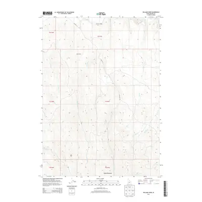
2013 Map of Williams Creek
USGS Topo · Published 2013About this map
South Mountain and the high-elevation terrain of southwestern Idaho define this 2013 survey of the Owyhee mountains. The landscape is deeply incised by a dense network of drainages, including Jordan Creek, Big Boulder Creek, and the curiously named Old Man Creek. These waterways provide a clear indication of the complex local hydrology feeding into larger regional systems. Evidence of human movement and land use is sparse, primarily confined to the S Mountain Rd and the broad opening of Pleasant Valley in the north.
Find a feature on this map
26 named features on this map. Tap any name to fly to it.
Don’t see what you’re looking for? This feature index may not catch every label — zoom into the map to look around manually.
Map Details
Editions of this 2013 Williams Creek Map
This is the sole edition of this map. No revisions or reprints were ever made.
Other maps of this area

1955 · Jordan Valley
USGS Topo · 1:250,000

1957 · Jordan Valley
USGS Topo · 1:250,000

1958 · Jordan Valley
USGS Topo · 1:250,000

1965 · Flint Creek
USGS Topo · 1:62,500
1969 · Jordan Valley
USGS Topo · 1:24,000

1973 · Indian Meadows
USGS Topo · 1:24,000

1973 · Cliffs
USGS Topo · 1:24,000

1980 · Juniper Point
USGS Topo · 1:24,000
1990 · Triangle
USGS Topo · 1:100,000
1990 · Flint
USGS Topo · 1:24,000