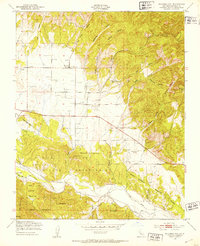
1949 Map of Williams Hill
USGS Topo · Published 1953About this map
Lockwood and the surrounding ranching and military lands of Monterey County are documented here just before the mid-century. The landscape is characterized by a high density of Windmills and tanks supporting livestock across a series of drainages, including San Lucas Canyon, Wildcat Canyon, and Williams Canyon. The northern portion of the Hunter Liggett Military Reservation dominates the southern half of the map, where the San Antonio River flows past El Piojo and Nelson Flat.
Find a feature on this map
31 named features on this map. Tap any name to fly to it.
Don’t see what you’re looking for? This feature index may not catch every label — zoom into the map to look around manually.
Map Details
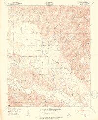
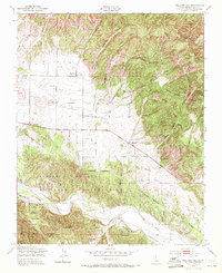
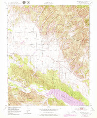
Editions of this 1949 Williams Hill Map
4 editions found
Other maps of this area

1912 · San Ardo
USGS Topo · 1:31,680

1915 · Priest Valley
USGS Topo · 1:125,000

1919 · King City
USGS Topo · 1:62,500

1919 · Bryson
USGS Topo · 1:62,500

1919 · Bradley
USGS Topo · 1:62,500

1939 · King City
USGS Topo · 1:62,500

1941 · San Ardo
USGS Topo · 1:62,500

1941 · Bradley
USGS Topo · 1:62,500

1941 · Bryson
USGS Topo · 1:62,500

1942 · Bryson
USGS Topo · 1:62,500