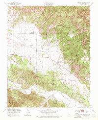
1949 Map of Williams Hill
USGS Topo · Published 1971About this map
Lockwood and the surrounding Monterey County ranchlands appear here as they were just after World War II, showing a landscape defined by cattle grazing and military land use. The Hunter Liggett Military Reservation dominates the southern half of the sheet, where the San Antonio River carves through the terrain near Quail Top and Nelson Flat. The valley floor to the north is dotted with numerous windmills, supporting local agriculture near Martins Corner and the small Airfield.
Find a feature on this map
28 named features on this map. Tap any name to fly to it.
Don’t see what you’re looking for? This feature index may not catch every label — zoom into the map to look around manually.
Map Details
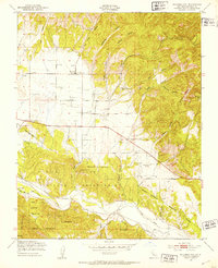
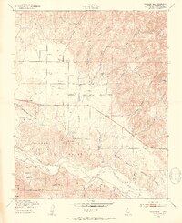
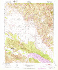
Editions of this 1949 Williams Hill Map
4 editions found
Other maps of this area

1912 · San Ardo
USGS Topo · 1:31,680

1915 · Priest Valley
USGS Topo · 1:125,000

1919 · King City
USGS Topo · 1:62,500

1919 · Bryson
USGS Topo · 1:62,500

1919 · Bradley
USGS Topo · 1:62,500

1939 · King City
USGS Topo · 1:62,500

1941 · San Ardo
USGS Topo · 1:62,500

1941 · Bradley
USGS Topo · 1:62,500

1941 · Bryson
USGS Topo · 1:62,500

1942 · Bryson
USGS Topo · 1:62,500