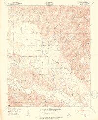
1949 Map of Williams Hill
USGS Topo · Published 1953About this map
Lockwood and the rural agricultural lands of southern Monterey County are depicted here just after the Second World War. The landscape is defined by a dense network of canyons, including Wildcat Canyon, San Lucas Canyon, and Pine Canyon, which drain toward the valley floor. Evidence of mid-century ranching and local infrastructure is prominent, with numerous Windmills scattered across the parcels and the San Antonio Union Sch serving the local families. The southern portion of the map is dominated by the Hunter Liggett Military Reservation, which encompasses landmarks like Jackson Hill and the San Antonio River. This 1949 survey provides a clear view of the area before modern land-use changes, documenting the location of Martinus Corner and an early Airfield near the military boundary.
Find a feature on this map
35 named features on this map. Tap any name to fly to it.
Don’t see what you’re looking for? This feature index may not catch every label — zoom into the map to look around manually.
Map Details
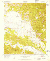
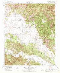
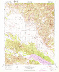
Editions of this 1949 Williams Hill Map
4 editions found
Other maps of this area

1912 · San Ardo
USGS Topo · 1:31,680

1915 · Priest Valley
USGS Topo · 1:125,000

1919 · King City
USGS Topo · 1:62,500

1919 · Bryson
USGS Topo · 1:62,500

1919 · Bradley
USGS Topo · 1:62,500

1939 · King City
USGS Topo · 1:62,500

1941 · San Ardo
USGS Topo · 1:62,500

1941 · Bradley
USGS Topo · 1:62,500

1941 · Bryson
USGS Topo · 1:62,500

1942 · Bryson
USGS Topo · 1:62,500