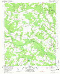
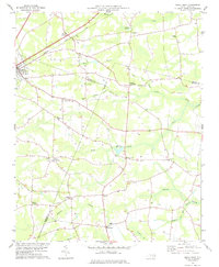
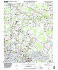
1980 Map of Williams
USGS Topo · Published 1981This historical map portrays the area of Williams in 1980, primarily covering Wayne County as well as portions of Duplin County. Featuring a scale of 1:24000, this map provides a highly detailed snapshot of the terrain, roads, buildings, counties, and historical landmarks in the Williams region at the time. Published in 1981, it is one of 2 known editions of this map due to revisions or reprints.
Find a feature on this map
67 named features on this map. Tap any name to fly to it.
Don’t see what you’re looking for? This feature index may not catch every label — zoom into the map to look around manually.
Map Details
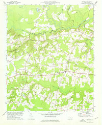
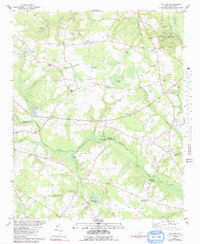
Editions of this 1980 Williams Map
2 editions found
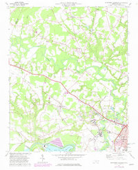
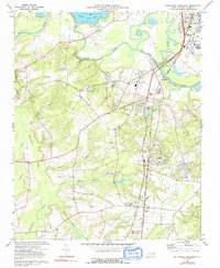
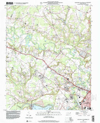
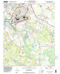
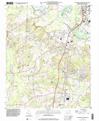
Historical Maps of Blizzards Crossroads Through Time
11 maps found
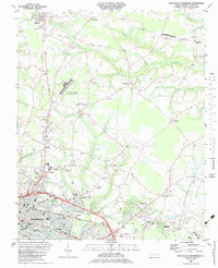
1974 Grantham
Wayne County, NC
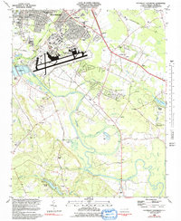
1974 Northwest Goldsboro
Wayne County, NC
1974 Southwest Goldsboro
Wayne County, NC
1978 Kenly East
Wayne County, NC
1980 Williams
Wayne County, NC
1982 Southeast Goldsboro
Wayne County, NC
1983 Northeast Goldsboro
Wayne County, NC
1998 Northeast Goldsboro
Wayne County, NC
1998 Northwest Goldsboro
Wayne County, NC
1998 Southeast Goldsboro
Wayne County, NC
1998 Southwest Goldsboro
Wayne County, NC