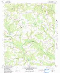
1980 Map of Williams
USGS Topo · Published 1991About this map
The Neuse River and Northeast Cape Fear River define the agricultural and wooded landscape of this southeastern North Carolina region during the late 1970s. The topography is marked by distinctive swampy features like Horsepen Pocosin and Devils Woodyard, while recreational centers such as Cliffs Of The Neuse State Park and Camp Jubilee occupy the northern riverbanks.
Find a feature on this map
63 named features on this map. Tap any name to fly to it.
Don’t see what you’re looking for? This feature index may not catch every label — zoom into the map to look around manually.
Map Details
Editions of this 1980 Williams Map
2 editions found
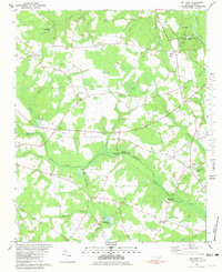
Other maps of this area

1953 · Rocky Mount
USGS Topo · 1:250,000

1953 · Raleigh
USGS Topo · 1:250,000

1954 · Rocky Mount
USGS Topo · 1:250,000

1954 · Raleigh
USGS Topo · 1:250,000

1957 · Goldsboro
USGS Topo · 1:62,500

1957 · Seven Springs
USGS Topo · 1:62,500

1974 · Southwest Goldsboro
USGS Topo · 1:24,000
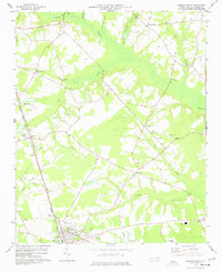
1977 · Warsaw North
USGS Topo · 1:24,000
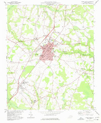
1977 · Mount Olive
USGS Topo · 1:24,000

1980 · Seven Springs
USGS Topo · 1:24,000