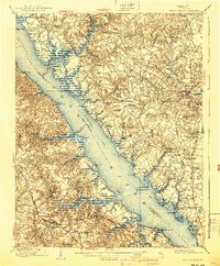
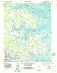
1906 Map of Williamsburg
USGS Topo · Published 1940About this map
The York River dominates this landscape, serving as a critical transportation corridor marked by a primary Steamboat Route and numerous landings such as Miller Ldg and Tanyard Ldg. Surveyed in 1904, the topography reveals a region deeply anchored in its colonial and early American past, evidenced by several significant ruins. Researchers can identify Church Hill Petsworth Church (Ruins) and the site of Powhatans House (Ruins) near the riverbanks, alongside the remains of Fort Magruder (Ruins) further inland.
Find a feature on this map
120 named features on this map. Tap any name to fly to it.
Don’t see what you’re looking for? This feature index may not catch every label — zoom into the map to look around manually.
Map Details
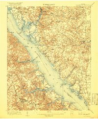
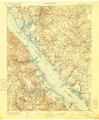
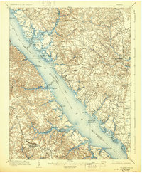
Editions of this 1906 Williamsburg Map
6 editions found

Historical Maps of Williamsburg Through Time
21 maps found

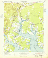
1906 Williamsburg
Gloucester County, VA

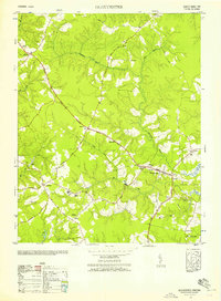
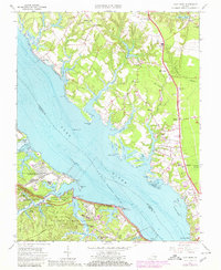
1948 Achilles
Gloucester County, VA
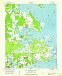
1948 Ware Neck
Gloucester County, VA
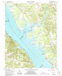
1952 Clay Bank
Gloucester County, VA
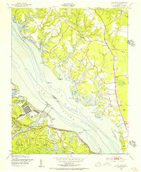
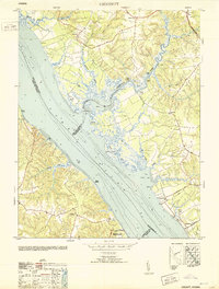
1952 Gloucester
Gloucester County, VA
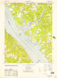
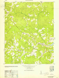
1952 Gressitt
Gloucester County, VA
1953 Gloucester
Gloucester County, VA
1953 Gressitt
Gloucester County, VA
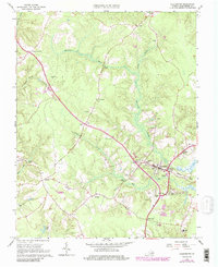
1957 Achilles
Gloucester County, VA
1965 Achilles
Gloucester County, VA
1965 Clay Bank
Gloucester County, VA
1965 Gloucester
Gloucester County, VA
1965 Gressitt
Gloucester County, VA
1965 Ware Neck
Gloucester County, VA
1983 Achilles
Gloucester County, VA
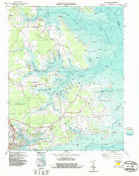
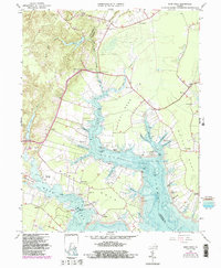
1984 Clay Bank
Gloucester County, VA
2022 Achilles
Gloucester County, VA
2022 Gloucester
Gloucester County, VA
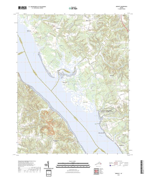
2022 Gressitt
Gloucester County, VA
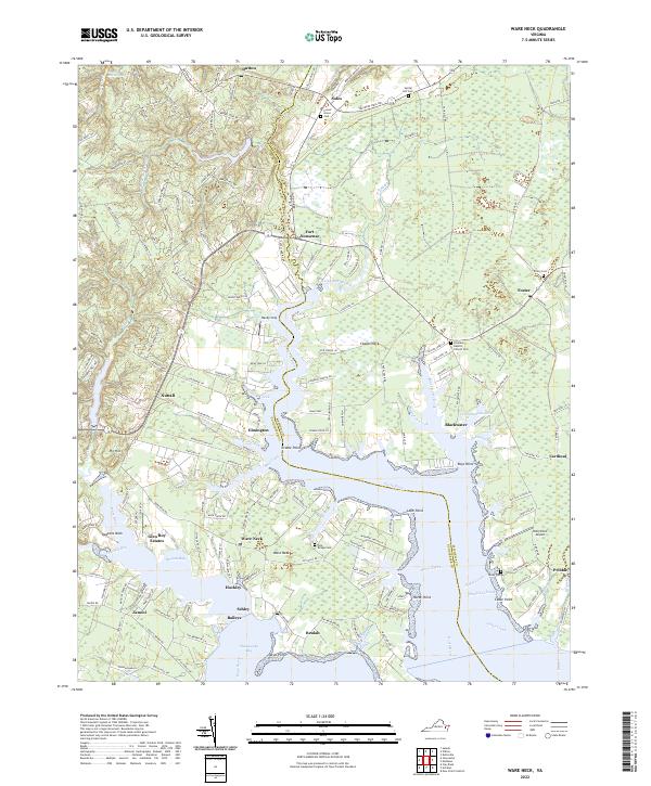
2022 Ware Neck
Gloucester County, VA
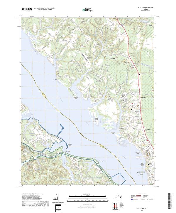
2023 Clay Bank
Gloucester County, VA