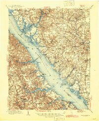
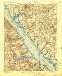
1906 Map of Williamsburg
USGS Topo · Published 1945About this map
Williamsburg and the rural reaches of Gloucester County meet at the wide expanse of the York River in this early 20th-century topographic survey. The landscape is deeply defined by its colonial heritage, marked by the presence of multiple historic houses of worship such as Ware Church, Abingdon Church, and the Petsworth Church (Ruins). Evidence of older fortifications and estates appear throughout the tidewater terrain, including the Fort Magruder Ruins near the city and the notable Rosewell estate overlooking the river.
Find a feature on this map
116 named features on this map. Tap any name to fly to it.
Don’t see what you’re looking for? This feature index may not catch every label — zoom into the map to look around manually.
Map Details
Editions of this 1906 Williamsburg Map
6 editions found
Other maps of this area

1906 · Williamsburg
USGS Topo · 1:62,500

1907 · Yorktown
USGS Topo · 1:62,500

1907 · Hampton
USGS Topo · 1:62,500

1916 · Kilmarnock
USGS Topo · 1:48,000

1916 · Mathews
USGS Topo · 1:62,500

1917 · Urbanna
USGS Topo · 1:62,500

1917 · Kilmarnock
USGS Topo · 1:62,500

1917 · Mathews
USGS Topo · 1:62,500

1917 · Toano
USGS Topo · 1:62,500

1918 · Toano
USGS Topo · 1:62,500