
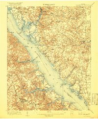
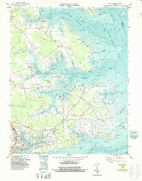
1906 Map of Williamsburg
USGS Topo · Published 1906This historical map portrays the area of Williamsburg in 1906, primarily covering Gloucester as well as portions of New Kent County, King and Queen County, James City County, and York County. Featuring a scale of 1:62500, this map provides a highly detailed snapshot of the terrain, roads, buildings, counties, and historical landmarks in the Williamsburg region at the time. Published in 1906, it is one of 6 known editions of this map due to revisions or reprints.
Map Details
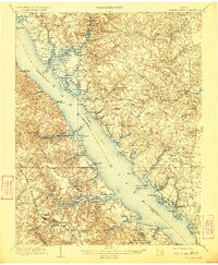
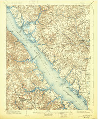
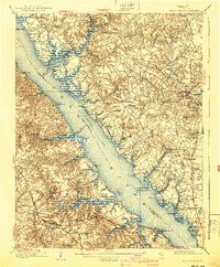
Editions of this 1906 Williamsburg Map
6 editions found
Historical Maps of Rosewell Harbor Through Time
16 maps found

1906 Williamsburg
Gloucester County, VA

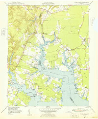
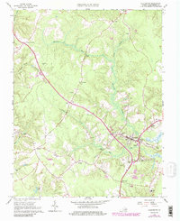
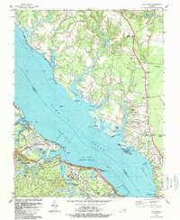
1948 Achilles
Gloucester County, VA
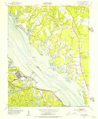
1948 Ware Neck
Gloucester County, VA
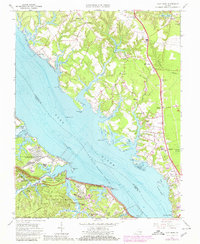
1952 Clay Bank
Gloucester County, VA
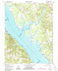
1952 Gloucester
Gloucester County, VA
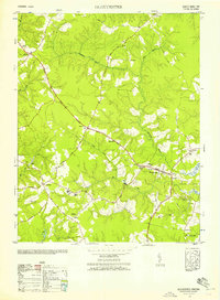
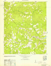
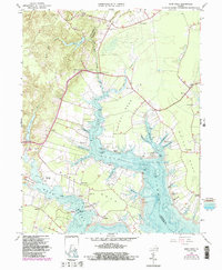
1952 Gressitt
Gloucester County, VA
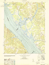
1953 Gloucester
Gloucester County, VA
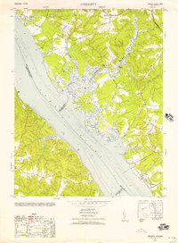
1953 Gressitt
Gloucester County, VA
1957 Achilles
Gloucester County, VA
1965 Achilles
Gloucester County, VA
1965 Clay Bank
Gloucester County, VA
1965 Gloucester
Gloucester County, VA
1965 Gressitt
Gloucester County, VA
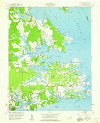
1965 Ware Neck
Gloucester County, VA
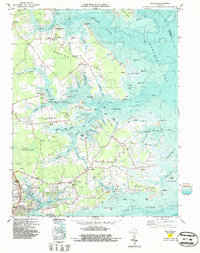
1983 Achilles
Gloucester County, VA
1984 Clay Bank
Gloucester County, VA