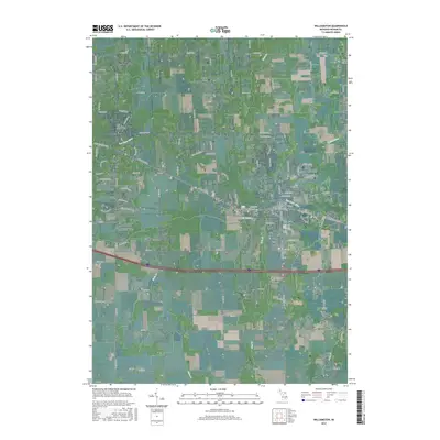
2017 Map of Williamston
USGS Topo · Published 2017About this map
Williamston and the surrounding Ingham County countryside appear here as a landscape defined by the winding course of the Red Cedar River. The map documents the residential expansion of Haslett, Okemos, and Meridian, where suburban street patterns meet the older, grid-based township roads of the rural interior. This transition between developed clusters and open land is punctuated by numerous family and community burial grounds, including the Saint Katherine's Episcopal Cem and the Mount Calvary Cem, which serve as vital markers for genealogical research.
Find a feature on this map
101 named features on this map. Tap any name to fly to it.
Don’t see what you’re looking for? This feature index may not catch every label — zoom into the map to look around manually.
Map Details
Editions of this 2017 Williamston Map
This is the sole edition of this map. No revisions or reprints were ever made.
Other maps of this area

1908 · Fowlerville
USGS Topo · 1:62,500

1909 · Mason
USGS Topo · 1:62,500

1910 · Fowlerville
USGS Topo · 1:62,500

1911 · Mason
USGS Topo · 1:62,500

1926 · Corunna
USGS Topo · 1:62,500

1928 · Laingsburg
USGS Topo · 1:62,500

1929 · Corunna
USGS Topo · 1:62,500

1944 · Laingsburg
USGS Topo · 1:62,500

1944 · Corunna
USGS Topo · 1:62,500

1958 · Grand Rapids
USGS Topo · 1:250,000