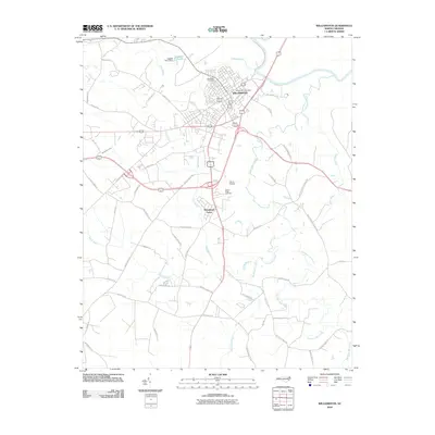
2010 Map of Williamston
USGS Topo · Published 2010About this map
Williamston serves as the focal point of this Martin County landscape, situated along the southern banks of the Roanoke River. The town's grid is dense with landmarks like the Williamston Post Office and Woodlawn Cemetery, while the surrounding rural areas are defined by a complex network of wetlands and creeks. The hydrology of the region is prominent, featuring the wide Roanoke River and numerous secondary drainages such as Sweetwater Creek, Back Swamp, and Hardison Mill Creek.
Find a feature on this map
59 named features on this map. Tap any name to fly to it.
Don’t see what you’re looking for? This feature index may not catch every label — zoom into the map to look around manually.
Map Details
Editions of this 2010 Williamston Map
This is the sole edition of this map. No revisions or reprints were ever made.
Other maps of this area

1901 · Williamston
USGS Topo · 1:62,500

1902 · Williamston
USGS Topo · 1:62,500

1903 · Chocowinity
USGS Topo · 1:62,500

1905 · Chocowinity
USGS Topo · 1:62,500

1943 · Plymouth
USGS Topo · 1:125,000

1953 · Rocky Mount
USGS Topo · 1:250,000

1954 · Rocky Mount
USGS Topo · 1:250,000
1978 · Farmlife
USGS Topo · 1:24,000
1978 · Jamesville
USGS Topo · 1:24,000

1978 · Windsor South
USGS Topo · 1:24,000