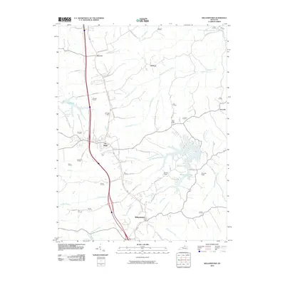
2010 Map of Williamstown
USGS Topo · Published 2010About this map
Williamstown and Dry Ridge serve as central hubs in this part of Grant County, where the landscape transitions from the developed corridors along the interstate to the intricate finger-like extensions of Williamstown Lake. The lake itself is fed by several tributaries, including South Fork Grassy Creek and Lake Branch, creating a complex shoreline that defines the southeastern geography. In contrast, the northern reaches are characterized by rural stretches near Sherman and Northcutt, with the Middle Fork Grassy Creek winding through agricultural land.
Find a feature on this map
71 named features on this map. Tap any name to fly to it.
Don’t see what you’re looking for? This feature index may not catch every label — zoom into the map to look around manually.
Map Details
Editions of this 2010 Williamstown Map
This is the sole edition of this map. No revisions or reprints were ever made.
Other maps of this area

1929 · Alexandria
USGS Topo · 1:48,000

1930 · Falmouth
USGS Topo · 1:48,000

1936 · Alexandria
USGS Topo · 1:62,500

1936 · Falmouth
USGS Topo · 1:62,500

1950 · Mason
USGS Topo · 1:24,000

1950 · Elliston
USGS Topo · 1:24,000

1950 · Williamstown
USGS Topo · 1:24,000

1950 · Verona
USGS Topo · 1:24,000

1950 · Walton
USGS Topo · 1:24,000

1950 · Lawrenceville
USGS Topo · 1:24,000