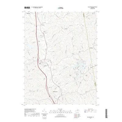
2019 Map of Williamstown
USGS Topo · Published 2019About this map
Williamstown Lake serves as a central hydrological feature for this portion of Northern Kentucky, branching into several arms such as Lake Br and Goose Cr. The landscape is defined by the high ground of Humes Ridge and Fairview Ridge, which separate the various forks of Grassy Cr. The corridor between Dry Ridge and Williamstown shows significant development, including the Dry Ridge Byp and infrastructure like Conrads Airport.
Find a feature on this map
124 named features on this map. Tap any name to fly to it.
Don’t see what you’re looking for? This feature index may not catch every label — zoom into the map to look around manually.
Map Details
Editions of this 2019 Williamstown Map
This is the sole edition of this map. No revisions or reprints were ever made.
Other maps of this area

1929 · Alexandria
USGS Topo · 1:48,000

1930 · Falmouth
USGS Topo · 1:48,000

1936 · Alexandria
USGS Topo · 1:62,500

1936 · Falmouth
USGS Topo · 1:62,500

1950 · Mason
USGS Topo · 1:24,000

1950 · Elliston
USGS Topo · 1:24,000

1950 · Williamstown
USGS Topo · 1:24,000

1950 · Verona
USGS Topo · 1:24,000

1950 · Walton
USGS Topo · 1:24,000

1950 · Lawrenceville
USGS Topo · 1:24,000