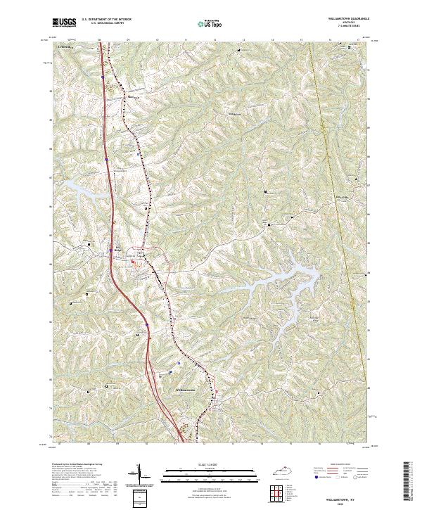
2022 Map of Williamstown
USGS Topo · Published 2022About this map
Williamstown and Dry Ridge serve as the primary hubs of this North Central Kentucky landscape, situated along the high ground between the deep-cut valleys of Arnolds Creek and S-Fork Grassy Cr. The area is characterized by its numerous family and community cemeteries, such as Hill Crest Cem, Dey Cem, and Renneckar Cem, which are scattered throughout the ridge-and-hollow terrain. The development pattern follows the contours of Humes Ridge and Fairview Ridge, with modern infrastructure like the Grant County Judicial Center and Charlie-Bravos Airport existing alongside older rural settlements like Northcutt and Knoxville. The drainage network, including Pointer Run and Ten Mile Cr, flows through a complex topography that has historically defined the boundaries between Grant Co and Pendleton Co. This modern survey documents the persistence of these rural communities and their reliance on the established road networks that traverse the difficult elevation changes of the Bluegrass region.
Find a feature on this map
137 named features on this map. Tap any name to fly to it.
Don’t see what you’re looking for? This feature index may not catch every label — zoom into the map to look around manually.
Map Details
Editions of this 2022 Williamstown Map
This is the sole edition of this map. No revisions or reprints were ever made.
Other maps of this area

1929 · Alexandria
USGS Topo · 1:48,000

1930 · Falmouth
USGS Topo · 1:48,000

1936 · Alexandria
USGS Topo · 1:62,500

1936 · Falmouth
USGS Topo · 1:62,500

1950 · Mason
USGS Topo · 1:24,000

1950 · Elliston
USGS Topo · 1:24,000

1950 · Williamstown
USGS Topo · 1:24,000

1950 · Verona
USGS Topo · 1:24,000

1950 · Walton
USGS Topo · 1:24,000

1950 · Lawrenceville
USGS Topo · 1:24,000