
1949 Map of Williamstown
USGS Topo · Published 1967About this map
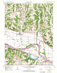
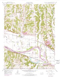
The Kansas River cuts a wide, meandering path through the heart of this landscape, separating the townships of Jefferson and Douglas counties. At the center of the survey lies Williamstown, a rail-oriented settlement situated along the Union Pacific tracks. The surrounding rural districts are defined by a dense network of one-room schoolhouses, such as Clover Hill Sch and Dean Sch, indicating a distributed agricultural community before mid-century consolidation.
Find a feature on this map
31 named features on this map. Tap any name to fly to it.
Don’t see what you’re looking for? This feature index may not catch every label — zoom into the map to look around manually.
Map Details
Editions of this 1949 Williamstown Map
3 editions found
Other maps of this area

1885 · Lawrence
USGS Topo · 1:125,000

1886 · Oskaloosa
USGS Topo · 1:125,000

1888 · Oskaloosa
USGS Topo · 1:125,000

1889 · Lawrence
USGS Topo · 1:125,000

1894 · Oskaloosa
USGS Topo · 1:125,000

1947 · Lawrence
USGS Topo · 1:250,000

1949 · Perry
USGS Topo · 1:24,000

1950 · Perry
USGS Topo · 1:24,000

1950 · Kansas City
USGS Topo · 1:250,000

1950 · Williamstown
USGS Topo · 1:24,000