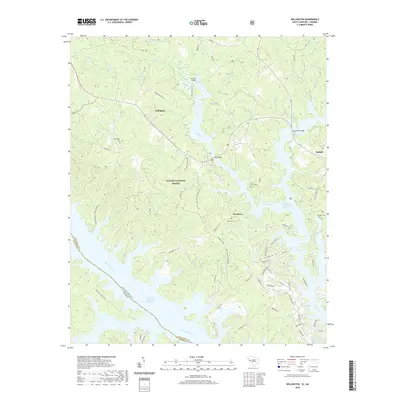
2020 Map of Willington
USGS Topo · Published 2020About this map
Willington and Bordeaux sit on the eastern edge of the J. Strom Thurmond Reservoir, where the modern shoreline of the Savannah River basin defines the local landscape. Much of the land is preserved within the Sumter National Forest, a terrain characterized by numerous creek drainages such as Mill Cr and Scott Cr. The map captures a high degree of local historical markers, including the De La Howe Tomb and several family or community burial sites like the Willington Cem, Bordeaux Cem, and Badwell Cem.
Find a feature on this map
74 named features on this map. Tap any name to fly to it.
Don’t see what you’re looking for? This feature index may not catch every label — zoom into the map to look around manually.
Map Details
Editions of this 2020 Willington Map
This is the sole edition of this map. No revisions or reprints were ever made.
Other maps of this area

1892 · Mc Cormick
USGS Topo · 1:125,000

1892 · Abbeville
USGS Topo · 1:125,000

1893 · Elberton
USGS Topo · 1:125,000

1906 · Crawfordville
USGS Topo · 1:125,000

1912 · Mc Cormick
USGS Topo · 1:125,000

1948 · Verdery
USGS Topo · 1:24,000

1949 · Calhoun Creek
USGS Topo · 1:24,000

1950 · Verdery
USGS Topo · 1:24,000

1953 · Athens
USGS Topo · 1:250,000

1954 · Metasville
USGS Topo · 1:24,000