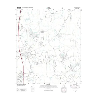
2013 Map of Willis
USGS Topo · Published 2013About this map
The growing residential footprint of Willis and Panorama Village dominates this survey, illustrating the expansion of these Montgomery County communities alongside Interstate 45. To the north, the smaller settlements of Ada and Esperanza mark the landscape near the Bnsf rail line. The area is characterized by numerous small bodies of water and residential lake developments, including Frontier Lake, Royal Forest Lake, and Arrowead Lake. The rural history of the region is preserved through landmarks like the Mount Zion church and the Jeraph cemetery near McRae Creek. Industrial activity is evident at the Pitts Gas Field in the southern portion of the quadrangle. Significant watercourses like Caney Creek and East Fork Crystal Creek wind through the terrain, which includes notable elevations like Willis Lookout. Recreational and institutional sites, such as Camp Anges Arnold, are also mapped, showing the diverse use of the land as it transitioned from traditional agriculture and timber toward suburban development.
Find a feature on this map
216 named features on this map. Tap any name to fly to it.
Don’t see what you’re looking for? This feature index may not catch every label — zoom into the map to look around manually.
Map Details
Editions of this 2013 Willis Map
This is the sole edition of this map. No revisions or reprints were ever made.
Other maps of this area

1954 · Beaumont
USGS Topo · 1:250,000

1957 · Beaumont
USGS Topo · 1:250,000

1958 · Conroe
USGS Topo · 1:24,000

1958 · Cowl Spur
USGS Topo · 1:24,000

1958 · Lake Paula
USGS Topo · 1:24,000

1959 · Moore Grove
USGS Topo · 1:24,000

1959 · Cut and Shoot
USGS Topo · 1:24,000

1959 · Conroe NE
USGS Topo · 1:24,000

1960 · Willis
USGS Topo · 1:24,000

1960 · Maynard
USGS Topo · 1:24,000