2022 Map of Willis
USGS Topo · Published 2022About this map
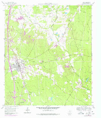
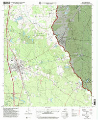
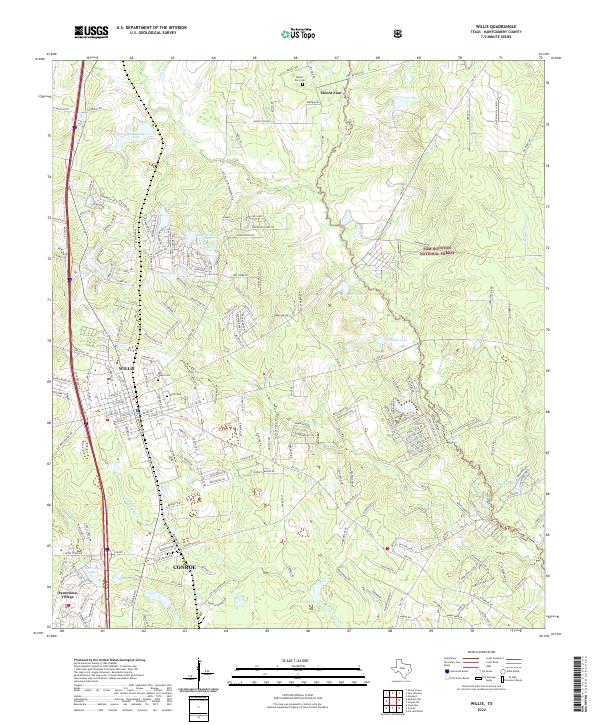
Willis serves as the central hub of this modern survey, positioned just north of Conroe along the Interstate 45 corridor. The landscape is defined by the heavy timber of the Sam Houston National Forest, which blankets the northeastern portion of the quadrangle. For genealogists, the map identifies three significant burial sites: Willis Cem, Rest Haven Cem, and the more remote Mount Zion Cem near the Mount Zion church in the north. The residential growth around the city is evident in the numerous small reservoirs and community lakes, including Lake Arrowhead Number 2, Frontier Lake, and Panorama Lake near Panorama Village. The complex drainage network of the E Fork Crystal Cr and Little Caney Cr illustrates the transition from the protected forest lands to the suburban expansion moving north from the San Jacinto River basin.
Find a feature on this map
214 named features on this map. Tap any name to fly to it.
Don’t see what you’re looking for? This feature index may not catch every label — zoom into the map to look around manually.
Map Details
Editions of this 2022 Willis Map
This is the sole edition of this map. No revisions or reprints were ever made.
Historical Maps of Esperanza Through Time
3 maps found