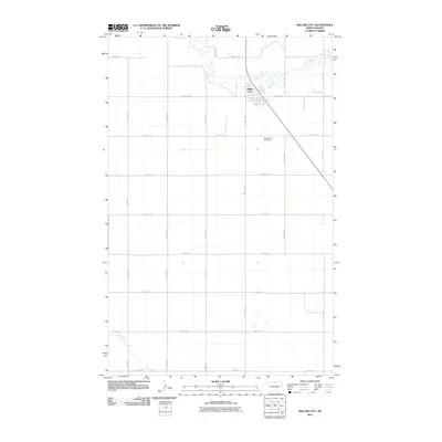
2011 Map of Willow City
USGS Topo · Published 2011About this map
Willow City sits at the heart of this prairie landscape, serving as a primary point of settlement within a sprawling grid of rural section roads. The town's layout is clearly defined against the surrounding agricultural terrain, which is bisected by the meandering paths of Willow Creek and Ox Creek to the north. These waterways create natural breaks in the rigid geometry of the North Dakota plains. Cultural and genealogical interest centers on the Notre Dame Cemetery, located just southeast of the main townsite along 20th Ave NE. To the southwest, Snake Creek cuts across the corner of the survey area, marking the drainage patterns of the region. The map documents the persistent infrastructure of the northern plains, from established county routes like County Rd-28a to the numbered avenues and streets that facilitate local travel across the open countryside.
Find a feature on this map
25 named features on this map. Tap any name to fly to it.
Don’t see what you’re looking for? This feature index may not catch every label — zoom into the map to look around manually.
Map Details
Editions of this 2011 Willow City Map
This is the sole edition of this map. No revisions or reprints were ever made.
Other maps of this area

1950 · Towner NW
USGS Topo · 1:24,000

1950 · Willow City SW
USGS Topo · 1:24,000

1954 · Towner NE
USGS Topo · 1:24,000

1954 · Omemee
USGS Topo · 1:24,000

1954 · Barton
USGS Topo · 1:24,000

1954 · Round Lake
USGS Topo · 1:24,000

1954 · Gardena
USGS Topo · 1:24,000

1954 · Willow City
USGS Topo · 1:24,000

1954 · Minot
USGS Topo · 1:250,000

1955 · Overly
USGS Topo · 1:24,000