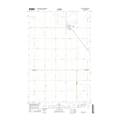
2014 Map of Willow City
USGS Topo · Published 2014About this map
Willow City serves as the focal point for this rural landscape where the boundaries of Bottineau, McHenry, and Pierce Counties converge. The town site is structured by a grid of local roads including Hager St and Dakota St, intersected by the diagonal path of ND-60. This northern prairie region is defined by its intermittent watercourses and agricultural drainage patterns, with Willow Cr and Ox Cr winding through the northern portion of the township. Local history and genealogy researchers will find significant landmarks preserved on this survey, such as Notre Dame Cem located just south of the main settlement and Immanuel Cem further south near Snake Cr. The map illustrates a highly organized section-line road network, typical of the Great Plains, which facilitates travel between isolated farmsteads and the central community hub.
Find a feature on this map
25 named features on this map. Tap any name to fly to it.
Don’t see what you’re looking for? This feature index may not catch every label — zoom into the map to look around manually.
Map Details
Editions of this 2014 Willow City Map
This is the sole edition of this map. No revisions or reprints were ever made.
Other maps of this area

1950 · Towner NW
USGS Topo · 1:24,000

1950 · Willow City SW
USGS Topo · 1:24,000

1954 · Towner NE
USGS Topo · 1:24,000

1954 · Omemee
USGS Topo · 1:24,000

1954 · Barton
USGS Topo · 1:24,000

1954 · Round Lake
USGS Topo · 1:24,000

1954 · Gardena
USGS Topo · 1:24,000

1954 · Willow City
USGS Topo · 1:24,000

1954 · Minot
USGS Topo · 1:250,000

1955 · Overly
USGS Topo · 1:24,000