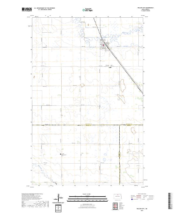
2024 Map of Willow City
USGS Topo · Published 2024About this map
Willow City serves as the focal point of this North Dakota landscape, situated at the intersection of Main St and Bottineau St. The town's layout reflects a classic prairie grid, surrounded by the meandering paths of Willow Creek and Ox Creek. To the southeast of the main townsite, local history is preserved at the Willow City Memorial Cem and Notre Dame Cem, while the Sandhill Congregational Cem stands further south near the McHenry County line. The map captures the boundary between Bottineau, McHenry, and Pierce Counties, illustrating how township lines and sections dictate the rural road network, including Co Hwy 17. In the southern portion of the quadrangle, the terrain is defined by the winding course of Snake Creek, amidst a landscape dotted with numerous small wetlands and prairie potholes.
Find a feature on this map
38 named features on this map. Tap any name to fly to it.
Don’t see what you’re looking for? This feature index may not catch every label — zoom into the map to look around manually.
Map Details
Editions of this 2024 Willow City Map
This is the sole edition of this map. No revisions or reprints were ever made.
Other maps of this area

1950 · Towner NW
USGS Topo · 1:24,000

1950 · Willow City SW
USGS Topo · 1:24,000

1954 · Towner NE
USGS Topo · 1:24,000

1954 · Omemee
USGS Topo · 1:24,000

1954 · Barton
USGS Topo · 1:24,000

1954 · Round Lake
USGS Topo · 1:24,000

1954 · Gardena
USGS Topo · 1:24,000

1954 · Willow City
USGS Topo · 1:24,000

1954 · Minot
USGS Topo · 1:250,000

1955 · Overly
USGS Topo · 1:24,000