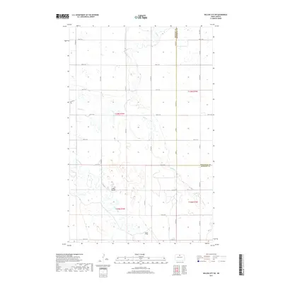
2017 Map of Willow City SW
USGS Topo · Published 2017About this map
Cole Ford sits at the heart of this prairie landscape, where the Souris River and Willow Cr wind through a complex network of wetlands and seasonal drainages. This northern North Dakota region, straddling the border of McHenry Co and Bottineau Co, is defined by its water-carved geography and agricultural grid. The map highlights key crossings essential to local transit, such as Nelson Bridge and the namesake ford, providing a detailed look at how the early road system adapted to the river's path.
Find a feature on this map
33 named features on this map. Tap any name to fly to it.
Don’t see what you’re looking for? This feature index may not catch every label — zoom into the map to look around manually.
Map Details
Editions of this 2017 Willow City SW Map
This is the sole edition of this map. No revisions or reprints were ever made.
Other maps of this area

1949 · Bantry
USGS Topo · 1:24,000

1950 · Towner NW
USGS Topo · 1:24,000

1950 · Upham SE
USGS Topo · 1:24,000

1950 · Willow City SW
USGS Topo · 1:24,000

1950 · Bantry
USGS Topo · 1:24,000

1954 · Towner NE
USGS Topo · 1:24,000

1954 · Omemee
USGS Topo · 1:24,000

1954 · Gardena
USGS Topo · 1:24,000

1954 · Willow City
USGS Topo · 1:24,000

1954 · Minot
USGS Topo · 1:250,000