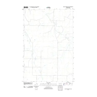
2011 Map of Willow Creek East
USGS Topo · Published 2011About this map
Willow Creek and Elm Creek define the drainage patterns of this rural Mercer County landscape, where the prairie is organized by a strict grid of section-line roads. The terrain is marked by the winding courses of these two water bodies, which break the geometric precision of the local thoroughfares. Principal north-south travel is facilitated by County Rd-7 and 77th Ave Sw on the western side, while County Rd-5 and 73rd Ave Sw serve the central and eastern portions.
Find a feature on this map
15 named features on this map. Tap any name to fly to it.
Don’t see what you’re looking for? This feature index may not catch every label — zoom into the map to look around manually.
Map Details
Editions of this 2011 Willow Creek East Map
This is the sole edition of this map. No revisions or reprints were ever made.
Other maps of this area

1953 · Dickinson
USGS Topo · 1:250,000

1953 · Watford City
USGS Topo · 1:250,000

1954 · Bismarck
USGS Topo · 1:250,000

1954 · McClusky
USGS Topo · 1:250,000

1957 · Dickinson
USGS Topo · 1:250,000

1957 · Watford City
USGS Topo · 1:250,000

1958 · Bismarck
USGS Topo · 1:250,000

1958 · McClusky
USGS Topo · 1:250,000

1967 · Watford City
USGS Topo · 1:250,000

1968 · Medicine Butte
USGS Topo · 1:24,000