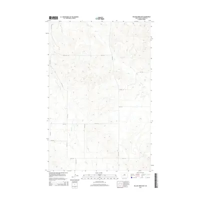
2014 Map of Willow Creek East
USGS Topo · Published 2014About this map
The rolling hills of rural Mercer County are defined by the winding paths of several prairie waterways. Willow Cr dominates the southwestern portion of the map, carving a wide valley floor through the landscape. In the north, Elm Cr and Gold Cr provide the primary drainage, with the terrain rising steadily between these creek beds. The area is marked by a precise grid of sectional roads, including 77th Ave SW and 26th Ave SW, which intersect with numbered east-west routes like 22nd St Sw. These roads suggest a landscape of large-scale agricultural holdings and scattered homesteads typical of the North Dakota plains. The presence of Cr-5 in the southeast corner indicates a primary connector through this otherwise sparsely populated ranching and farming territory.
Find a feature on this map
16 named features on this map. Tap any name to fly to it.
Don’t see what you’re looking for? This feature index may not catch every label — zoom into the map to look around manually.
Map Details
Editions of this 2014 Willow Creek East Map
This is the sole edition of this map. No revisions or reprints were ever made.
Other maps of this area

1953 · Dickinson
USGS Topo · 1:250,000

1953 · Watford City
USGS Topo · 1:250,000

1954 · Bismarck
USGS Topo · 1:250,000

1954 · McClusky
USGS Topo · 1:250,000

1957 · Dickinson
USGS Topo · 1:250,000

1957 · Watford City
USGS Topo · 1:250,000

1958 · Bismarck
USGS Topo · 1:250,000

1958 · McClusky
USGS Topo · 1:250,000

1967 · Watford City
USGS Topo · 1:250,000

1968 · Medicine Butte
USGS Topo · 1:24,000