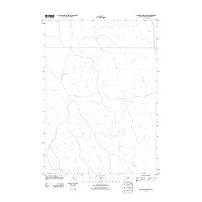
2012 Map of Willow Creek NW
USGS Topo · Published 2012About this map
The hydrological network of Squaw-Humper Cr and the various branches of Willow Creek define this section of the Pine Ridge Reservation area. This 2012 survey illustrates a landscape primarily shaped by the drainage patterns of the Middle Fork Willow Cr, E Fork Willow Cr, and W Fork Willow Cr. These seasonal watercourses carve through the terrain, creating a complex system of draws and breaks typical of the regional topography. Human infrastructure is notably sparse, centered around the path of Bia 2, which serves as the primary artery through this open rangeland. The map provides a detailed view of the natural water distribution and the limited road network that connects this remote portion of South Dakota.
Find a feature on this map
5 named features on this map. Tap any name to fly to it.
Don’t see what you’re looking for? This feature index may not catch every label — zoom into the map to look around manually.
Map Details
Editions of this 2012 Willow Creek NW Map
This is the sole edition of this map. No revisions or reprints were ever made.
Other maps of this area

1894 · Hermosa
USGS Topo · 1:125,000

1896 · Oelrichs
USGS Topo · 1:125,000

1900 · Oelrichs
USGS Topo · 1:125,000

1901 · Hermosa
USGS Topo · 1:125,000

1951 · Fairburn SE
USGS Topo · 1:24,000

1951 · Willow Creek NW
USGS Topo · 1:24,000

1951 · Willow Creek NE
USGS Topo · 1:24,000

1951 · Red Shirt SW
USGS Topo · 1:24,000

1951 · Smithwick NE
USGS Topo · 1:24,000

1951 · Cuny Table West
USGS Topo · 1:24,000