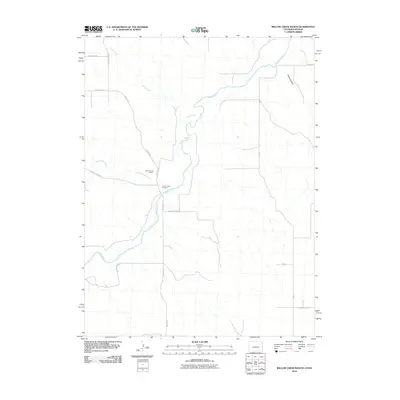
2010 Map of Willow Creek Ranch
USGS Topo · Published 2010About this map
Willow Creek Ranch anchors this high plains landscape in eastern Yuma County, where the Arikaree River and its seasonal tributaries carve subtle paths through the terrain. The presence of the Jones Family Cemetery suggests the deep roots of the ranching families who settled this arid region, providing a specific focal point for genealogical research. The map captures a complex network of county roads, such as County Rd and Road 2, which define the section lines and connect the isolated ranching operations to the wider region. Topographical variations are most pronounced near Devils Canyon and along the drainages of Horse Creek and Dry Willow Creek, illustrating the drainage patterns that dominate the local geography before these waters cross into neighboring Kansas.
Find a feature on this map
18 named features on this map. Tap any name to fly to it.
Don’t see what you’re looking for? This feature index may not catch every label — zoom into the map to look around manually.
Map Details
Editions of this 2010 Willow Creek Ranch Map
This is the sole edition of this map. No revisions or reprints were ever made.
Other maps of this area

1942 · St. Francis
USGS Topo · 1:62,500

1943 · St. Francis
USGS Topo · 1:62,500

1951 · St Francis
USGS Topo · 1:62,500

1954 · Limon
USGS Topo · 1:250,000

1954 · Sterling
USGS Topo · 1:250,000

1954 · McCook
USGS Topo · 1:250,000

1954 · Goodland
USGS Topo · 1:250,000

1956 · Goodland
USGS Topo · 1:250,000

1957 · McCook
USGS Topo · 1:250,000

1957 · Limon
USGS Topo · 1:250,000