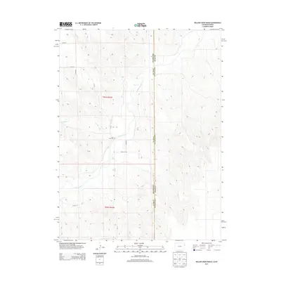
2013 Map of Willow Creek Ranch
USGS Topo · Published 2013About this map
The Arikaree River carves a winding path through the high plains of Eastern Colorado, anchoring a landscape defined by its riparian drainage and sparse rural infrastructure. In this borderland where Yuma County meets the Kansas state line, the topographic detail reveals the intricate erosion patterns of the Horse Cr and Dry Willow Cr watersheds. Local history and genealogy are anchored by the Jones Family Cem, a small burial ground situated between the river's bends and the section lines of t001s r042w. The survey illustrates a region where life is oriented around the watercourses and a rigid grid of county thoroughfares, including Co Road 29 and Co Road 24 5/10, which connect the isolated ranching properties of the High Plains.
Find a feature on this map
13 named features on this map. Tap any name to fly to it.
Don’t see what you’re looking for? This feature index may not catch every label — zoom into the map to look around manually.
Map Details
Editions of this 2013 Willow Creek Ranch Map
This is the sole edition of this map. No revisions or reprints were ever made.
Other maps of this area

1942 · St. Francis
USGS Topo · 1:62,500

1943 · St. Francis
USGS Topo · 1:62,500

1951 · St Francis
USGS Topo · 1:62,500

1954 · Limon
USGS Topo · 1:250,000

1954 · Sterling
USGS Topo · 1:250,000

1954 · McCook
USGS Topo · 1:250,000

1954 · Goodland
USGS Topo · 1:250,000

1956 · Goodland
USGS Topo · 1:250,000

1957 · McCook
USGS Topo · 1:250,000

1957 · Limon
USGS Topo · 1:250,000