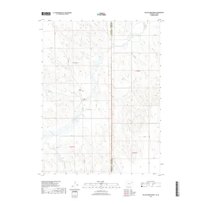
2019 Map of Willow Creek Ranch
USGS Topo · Published 2019About this map
The Arikaree River defines the drainage of this High Plains landscape, where the border between Colorado and Kansas cuts through a network of remote ranching lands and dry creek beds. In Yuma County, the Willow Creek Ranch stands as a primary point of settlement among the winding paths of Horse Cr and Dry Willow Cr. Local history is anchored by the Jones Family Cem, a small family burial ground located just south of the ranch near the river's path. To the east across the state line in Cheyenne County, the terrain shifts into the broken ground of Devils Canyon. The map reveals a highly structured grid of section lines and county roads, such as Co RD 28 and Airport Rd, which provide access to these isolated properties and the seasonal waterways that sustain the region's cattle-raising economy.
Find a feature on this map
24 named features on this map. Tap any name to fly to it.
Don’t see what you’re looking for? This feature index may not catch every label — zoom into the map to look around manually.
Map Details
Editions of this 2019 Willow Creek Ranch Map
This is the sole edition of this map. No revisions or reprints were ever made.
Other maps of this area

1942 · St. Francis
USGS Topo · 1:62,500

1943 · St. Francis
USGS Topo · 1:62,500

1951 · St Francis
USGS Topo · 1:62,500

1954 · Limon
USGS Topo · 1:250,000

1954 · Sterling
USGS Topo · 1:250,000

1954 · McCook
USGS Topo · 1:250,000

1954 · Goodland
USGS Topo · 1:250,000

1956 · Goodland
USGS Topo · 1:250,000

1957 · McCook
USGS Topo · 1:250,000

1957 · Limon
USGS Topo · 1:250,000