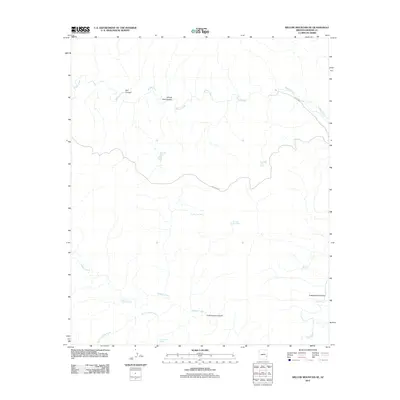
2011 Map of Willow Mountain SE
USGS Topo · Published 2011About this map
Willow Creek and its complex network of tributaries define this high-elevation landscape in Graham County. The terrain is deeply incised by Bull Canyon and Windy Bob Canyon in the north, while the southern reaches are shaped by the drainage of Cienega Creek and South Cienega Creek. This 2011 survey reveals a landscape primarily managed for water resources in an arid environment, evidenced by numerous man-made catchments such as Fourmile Tank, Night Trap Tank, and Dry Trap Tank.
Find a feature on this map
15 named features on this map. Tap any name to fly to it.
Don’t see what you’re looking for? This feature index may not catch every label — zoom into the map to look around manually.
Map Details
Editions of this 2011 Willow Mountain SE Map
This is the sole edition of this map. No revisions or reprints were ever made.
Other maps of this area

1902 · Clifton
USGS Topo · 1:62,500

1913 · Morenci
USGS Topo · 1:125,000

1915 · Morenci
USGS Topo · 1:125,000

1954 · Clifton
USGS Topo · 1:250,000

1957 · Clifton
USGS Topo · 1:250,000

1958 · Clifton
USGS Topo · 1:250,000

1962 · Clifton
USGS Topo · 1:250,000

1962 · Clifton
USGS Topo · 1:62,500

1962 · Bryce Mountain
USGS Topo · 1:62,500

1967 · Robinson Mesa
USGS Topo · 1:24,000