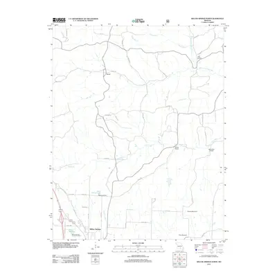
2012 Map of Willow Springs North
USGS Topo · Published 2012About this map
The Eleven Point River flows through this Ozark landscape, marking a transition between the northern high ground and the municipal limits of Willow Springs. This 2012 survey illustrates a network of rural county roads, such as Old Springfield Rd and Sargent Rd, that connect isolated settlements like Varvol to the more developed southern corridor. The drainage patterns are defined by numerous hollows including Pine Hollow, Esling Hollow, and Spout Spr Hollow, which feed into major water bodies like Pine Creek.
Find a feature on this map
49 named features on this map. Tap any name to fly to it.
Don’t see what you’re looking for? This feature index may not catch every label — zoom into the map to look around manually.
Map Details
Editions of this 2012 Willow Springs North Map
This is the sole edition of this map. No revisions or reprints were ever made.
Other maps of this area

1939 · Topaz
USGS Topo · 1:62,500

1941 · Topaz
USGS Topo · 1:62,500

1945 · Harrison
USGS Topo · 1:250,000

1945 · Willow Springs
USGS Topo · 1:62,500

1945 · Clear Springs
USGS Topo · 1:62,500

1948 · Clear Springs
USGS Topo · 1:62,500

1948 · Willow Springs
USGS Topo · 1:62,500

1949 · Harrison
USGS Topo · 1:250,000

1949 · Rolla
USGS Topo · 1:250,000

1951 · Cabool SE
USGS Topo · 1:24,000