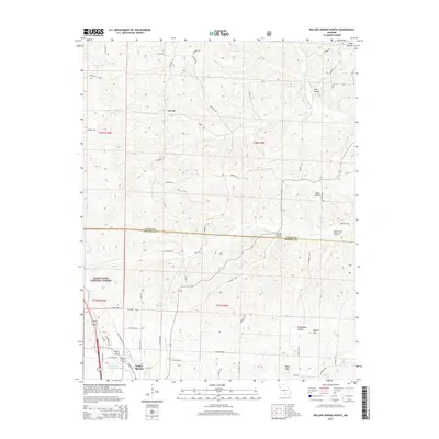
2015 Map of Willow Springs North
USGS Topo · Published 2015About this map
The town of Willow Springs serves as the focal point of this 2015 study, situated at the boundary between Howell and Texas counties. The landscape is characterized by its complex drainage network, where the headwaters of the Eleven Point River and the S Prong Jacks Fork begin their courses through the Ozark plateau. To the northwest, the map includes a section of the Mark Twain National Forest, while the eastern portion is dominated by named ridges and deep hollows such as Queens Mtn and Richardson Hollow.
Find a feature on this map
64 named features on this map. Tap any name to fly to it.
Don’t see what you’re looking for? This feature index may not catch every label — zoom into the map to look around manually.
Map Details
Editions of this 2015 Willow Springs North Map
This is the sole edition of this map. No revisions or reprints were ever made.
Other maps of this area

1939 · Topaz
USGS Topo · 1:62,500

1941 · Topaz
USGS Topo · 1:62,500

1945 · Harrison
USGS Topo · 1:250,000

1945 · Willow Springs
USGS Topo · 1:62,500

1945 · Clear Springs
USGS Topo · 1:62,500

1948 · Clear Springs
USGS Topo · 1:62,500

1948 · Willow Springs
USGS Topo · 1:62,500

1949 · Harrison
USGS Topo · 1:250,000

1949 · Rolla
USGS Topo · 1:250,000

1951 · Cabool SE
USGS Topo · 1:24,000