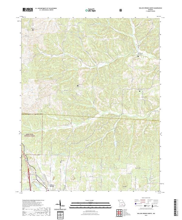
2021 Map of Willow Springs North
USGS Topo · Published 2021About this map
The Eleven Point River flows through this Ozark landscape, marking a transition from the northern reaches of the Mark Twain National Forest toward the northern edge of Willow Springs. The terrain is defined by a dense network of hollows, including Pine Hollow, Rebel Hollow, and Richardson Hollow, which dictate the winding paths of rural routes like Co Rd U and Hwy HH. This survey highlights the distribution of small community landmarks and family burial grounds, such as Dutch Cem and the Moores Chapel Methodist Church Cem. The southern portion of the sheet features the Frisco Reservoir and elevations like Queens Mtn and King Mtn, illustrating the high-relief topography characteristic of the border between Texas and Howell counties.
Find a feature on this map
68 named features on this map. Tap any name to fly to it.
Don’t see what you’re looking for? This feature index may not catch every label — zoom into the map to look around manually.
Map Details
Editions of this 2021 Willow Springs North Map
This is the sole edition of this map. No revisions or reprints were ever made.
Other maps of this area

1939 · Topaz
USGS Topo · 1:62,500

1941 · Topaz
USGS Topo · 1:62,500

1945 · Harrison
USGS Topo · 1:250,000

1945 · Willow Springs
USGS Topo · 1:62,500

1945 · Clear Springs
USGS Topo · 1:62,500

1948 · Clear Springs
USGS Topo · 1:62,500

1948 · Willow Springs
USGS Topo · 1:62,500

1949 · Harrison
USGS Topo · 1:250,000

1949 · Rolla
USGS Topo · 1:250,000

1951 · Cabool SE
USGS Topo · 1:24,000