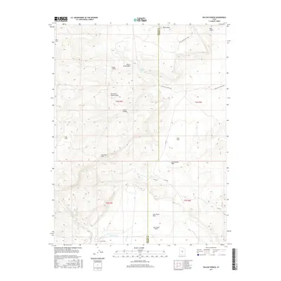
2017 Map of Willow Springs
USGS Topo · Published 2017About this map
Willow Springs Wash and Mussentuchit Wash carve through this high-elevation landscape along the border of Sevier and Emery Counties. The terrain is defined by dramatic elevation changes, ranging from the Limestone Cliffs to the level expanses of Blue Flats and Clay Flats. A single namesake settlement, Jims Farm, stands as the primary human landmark in the northwest, while the southeastern corner transitions into the arid Last Chance Desert.
Find a feature on this map
25 named features on this map. Tap any name to fly to it.
Don’t see what you’re looking for? This feature index may not catch every label — zoom into the map to look around manually.
Map Details
Editions of this 2017 Willow Springs Map
This is the sole edition of this map. No revisions or reprints were ever made.
Other maps of this area

1885 · Fish Lake
USGS Topo · 1:250,000

1896 · Fish Lake
USGS Topo · 1:250,000

1922 · Emery No.3
USGS Topo · 1:31,680

1925 · Acord Lakes
USGS Topo · 1:62,500

1956 · Salina
USGS Topo · 1:250,000

1960 · Salina
USGS Topo · 1:250,000

1962 · Salina
USGS Topo · 1:250,000

1968 · Johns Peak
USGS Topo · 1:24,000
1968 · Old Woman Plateau
USGS Topo · 1:24,000
1968 · Solomons Temple
USGS Topo · 1:24,000