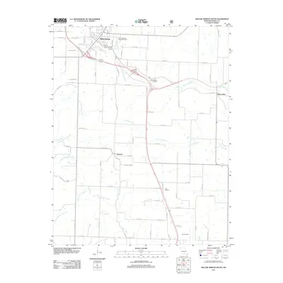
2011 Map of Willow Springs South
USGS Topo · Published 2011About this map
Willow Springs sits at the northern edge of this Ozark plateau landscape, where the BNSF Railway and modern highway corridors converge. The terrain is defined by a dense network of drainage systems, including the Eleven Point River and its tributaries like Lost Camp Creek. Evidence of local aviation history is notable, with the Willow Springs Memorial Airport near the town center and a remote Landing Strip further south.
Find a feature on this map
59 named features on this map. Tap any name to fly to it.
Don’t see what you’re looking for? This feature index may not catch every label — zoom into the map to look around manually.
Map Details
Editions of this 2011 Willow Springs South Map
This is the sole edition of this map. No revisions or reprints were ever made.
Other maps of this area

1939 · Topaz
USGS Topo · 1:62,500

1941 · Topaz
USGS Topo · 1:62,500

1945 · Harrison
USGS Topo · 1:250,000

1945 · Willow Springs
USGS Topo · 1:62,500

1945 · Clear Springs
USGS Topo · 1:62,500

1948 · Clear Springs
USGS Topo · 1:62,500

1948 · Willow Springs
USGS Topo · 1:62,500

1949 · Harrison
USGS Topo · 1:250,000

1949 · Rolla
USGS Topo · 1:250,000

1951 · Cabool SE
USGS Topo · 1:24,000