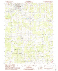
1986 Map of Willow Springs South
USGS Topo · Published 1986About this map
The southern outskirts of Willow Springs anchor this mid-1980s landscape, where the Ozark plateau begins to descend into the rugged timberlands of the Mark Twain National Forest. The transition from the developed town center to the dense woods is marked by mid-century landmarks like the Drive-In Theatre and the Willow Springs Memorial Airport. To the east, the rural community of Hutton Valley sits amidst a network of drainage systems, including the Eleven Point River and the curiously named Lost Camp Creek.
Find a feature on this map
29 named features on this map. Tap any name to fly to it.
Don’t see what you’re looking for? This feature index may not catch every label — zoom into the map to look around manually.
Map Details
Editions of this 1986 Willow Springs South Map
This is the sole edition of this map. No revisions or reprints were ever made.
Other maps of this area

1939 · Topaz
USGS Topo · 1:62,500

1941 · Topaz
USGS Topo · 1:62,500

1945 · Harrison
USGS Topo · 1:250,000

1945 · Willow Springs
USGS Topo · 1:62,500

1945 · Clear Springs
USGS Topo · 1:62,500

1948 · Clear Springs
USGS Topo · 1:62,500

1948 · Willow Springs
USGS Topo · 1:62,500

1949 · Harrison
USGS Topo · 1:250,000

1949 · Rolla
USGS Topo · 1:250,000

1951 · Cabool SE
USGS Topo · 1:24,000