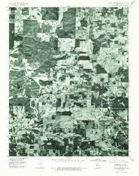
1976 Map of Willow Springs SW
USGS Topo · Published 1977About this map
Pomona and Olden anchor this 1976 orthophotoquad in Howell County, Missouri, offering a unique visual record of the Ozark Plateau's agricultural and forest patterns. Unlike traditional topographic maps, this aerial perspective reveals the precise distribution of woodlots, pastureland, and small-scale farming plots that defined the landscape in the mid-1970s. The concentration of structures and crossroads at Pomona and the more dispersed layout around Olden illustrate the regional rural development of the era. The imagery clearly delineates the corridor of the principal highways and local road networks as they cut through the alternating timber and cleared fields, providing a literal view of the land as it existed during the bicentennial year.
Find a feature on this map
2 named features on this map. Tap any name to fly to it.
Don’t see what you’re looking for? This feature index may not catch every label — zoom into the map to look around manually.
Map Details
Editions of this 1976 Willow Springs SW Map
This is the sole edition of this map. No revisions or reprints were ever made.
Other maps of this area

1938 · West Plains
USGS Topo · 1:24,000

1939 · Topaz
USGS Topo · 1:62,500

1940 · West Plains
USGS Topo · 1:24,000

1941 · Topaz
USGS Topo · 1:62,500

1944 · West Plains
USGS Topo · 1:62,500

1944 · Cureall
USGS Topo · 1:62,500

1945 · Harrison
USGS Topo · 1:250,000

1945 · Willow Springs
USGS Topo · 1:62,500

1946 · West Plains
USGS Topo · 1:62,500

1946 · Cureall
USGS Topo · 1:62,500