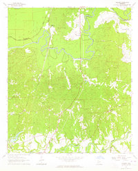
1963 Map of Willows
USGS Topo · Published 1964About this map
The Big Black River meanders across the border of Warren and Claiborne Counties in this early 1960s landscape, defining a region where water and rail dictated the local economy. Small settlements and rural community hubs like Allen (Nanachehaw), Ingleside, and Willows are scattered throughout the lowlands, often anchored by country churches such as Little Come and See Ch or Ashland Ch. The winding course of the Illinois Central railroad runs parallel to the river, crossing numerous bayous and creeks that drain into the basin.
Find a feature on this map
34 named features on this map. Tap any name to fly to it.
Don’t see what you’re looking for? This feature index may not catch every label — zoom into the map to look around manually.
Map Details
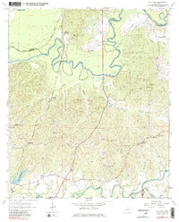
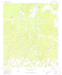
Editions of this 1963 Willows Map
3 editions found
Other maps of this area

1939 · Yokena
USGS Topo · 1:62,500

1939 · Lorman
USGS Topo · 1:62,500

1953 · Natchez
USGS Topo · 1:250,000

1955 · Jackson
USGS Topo · 1:250,000

1956 · Natchez
USGS Topo · 1:250,000

1958 · St. Joseph
USGS Topo · 1:62,500

1959 · Natchez
USGS Topo · 1:250,000

1961 · Jackson
USGS Topo · 1:250,000

1962 · Jackson
USGS Topo · 1:250,000

1963 · Carlisle
USGS Topo · 1:24,000