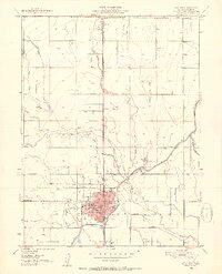
1951 Map of Willows
USGS Topo · Published 1952About this map
Willows serves as the central hub of this 1951 survey, exhibiting the organized grid of a California agricultural center during the early postwar years. The Southern Pacific railroad runs north-south through the heart of the settlement, connecting the town to Artois and facilitating the movement of valley produce. Irrigation infrastructure is vital to the landscape, with the Central Irrigation Canal and Quint Canal cutting across the terrain to support local farms. Public life is centered around the Court House, High Sch, and a Park, while the Willows Airport and its Airway Beacon to the west mark the mid-century expansion of regional aviation. Waterways like Walker Creek and the South Fork Willow Creek define the natural drainage patterns that coexist with this heavily engineered irrigation network.
Find a feature on this map
24 named features on this map. Tap any name to fly to it.
Don’t see what you’re looking for? This feature index may not catch every label — zoom into the map to look around manually.
Map Details
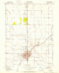
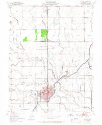
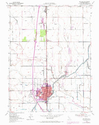
Editions of this 1951 Willows Map
4 editions found
Other maps of this area

1904 · Walker Creek
USGS Topo · 1:31,680

1904 · Logan Creek
USGS Topo · 1:24,000

1906 · Maxwell
USGS Topo · 1:62,500

1906 · Willows
USGS Topo · 1:62,500

1914 · Orland
USGS Topo · 1:31,680

1914 · Hamilton
USGS Topo · 1:31,680

1917 · Kurand
USGS Topo · 1:31,680

1917 · Lyman
USGS Topo · 1:31,680

1917 · Jacinto
USGS Topo · 1:31,680

1917 · Logandale
USGS Topo · 1:31,680