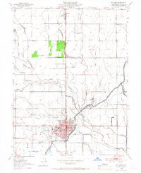
1951 Map of Willows
USGS Topo · Published 1966About this map
Willows serves as the primary hub in this mid-century agricultural landscape, anchored by the Southern Pacific railroad and a grid of essential civic structures including the Court House, City Hall, and County Hosp. The town’s layout reflects a period of established growth, with a Golf Course and the Willows Airport marking its perimeter. To the north, the small settlement of Artois sits along the rail line, surrounded by the intricate water management systems of the Sacramento Valley.
Find a feature on this map
22 named features on this map. Tap any name to fly to it.
Don’t see what you’re looking for? This feature index may not catch every label — zoom into the map to look around manually.
Map Details
Editions of this 1951 Willows Map
4 editions found
Other maps of this area

1904 · Walker Creek
USGS Topo · 1:31,680

1904 · Logan Creek
USGS Topo · 1:24,000

1906 · Maxwell
USGS Topo · 1:62,500

1906 · Willows
USGS Topo · 1:62,500

1914 · Orland
USGS Topo · 1:31,680

1914 · Hamilton
USGS Topo · 1:31,680

1917 · Kurand
USGS Topo · 1:31,680

1917 · Lyman
USGS Topo · 1:31,680

1917 · Jacinto
USGS Topo · 1:31,680

1917 · Logandale
USGS Topo · 1:31,680