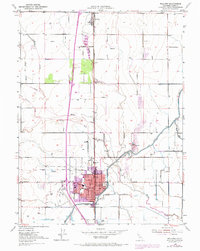
1951 Map of Willows
USGS Topo · Published 1970About this map
Willows serves as the focal point of this Central Valley survey, showcasing a well-established agricultural and civic hub during the mid-twentieth century. The town is marked by its grid-pattern streets and essential local institutions, including the Court House, City Hall, and the County Hospital. Industrial and transport footprints are clearly visible, with the Southern Pacific tracks and Willows Airport facilitating regional connectivity.
Find a feature on this map
32 named features on this map. Tap any name to fly to it.
Don’t see what you’re looking for? This feature index may not catch every label — zoom into the map to look around manually.
Map Details
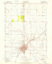
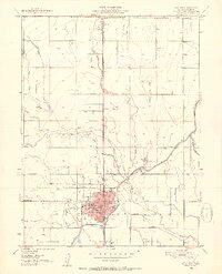
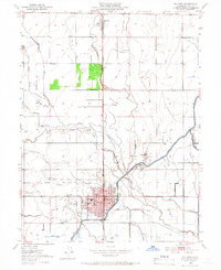
Editions of this 1951 Willows Map
4 editions found
Other maps of this area

1904 · Walker Creek
USGS Topo · 1:31,680

1904 · Logan Creek
USGS Topo · 1:24,000

1906 · Maxwell
USGS Topo · 1:62,500

1906 · Willows
USGS Topo · 1:62,500

1914 · Orland
USGS Topo · 1:31,680

1914 · Hamilton
USGS Topo · 1:31,680

1917 · Kurand
USGS Topo · 1:31,680

1917 · Lyman
USGS Topo · 1:31,680

1917 · Jacinto
USGS Topo · 1:31,680

1917 · Logandale
USGS Topo · 1:31,680