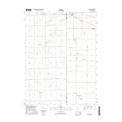
2016 Map of Willshire
USGS Topo · Published 2016About this map
The Saint Marys River winds through the village of Willshire, defining the northern landscape where Van Wert County meets the Indiana state line. This rural corridor is shaped by a dense network of country roads, including E State Rd 124 and Scheidt Rd, which connect family farms to small hubs like Chattanooga to the south. The terrain is defined by its agricultural drainage, evidenced by the paths of Blue Creek, Little Blue Cr, and Duer Ditch.
Find a feature on this map
47 named features on this map. Tap any name to fly to it.
Don’t see what you’re looking for? This feature index may not catch every label — zoom into the map to look around manually.
Map Details
Editions of this 2016 Willshire Map
This is the sole edition of this map. No revisions or reprints were ever made.
Other maps of this area

1911 · Berne
USGS Topo · 1:48,000

1914 · Celina
USGS Topo · 1:62,500

1914 · Van Wert
USGS Topo · 1:62,500

1944 · Van Wert
USGS Topo · 1:62,500

1944 · Celina
USGS Topo · 1:62,500

1953 · Muncie
USGS Topo · 1:250,000

1956 · Muncie
USGS Topo · 1:250,000
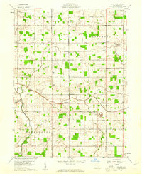
1960 · Erastus
USGS Topo · 1:24,000
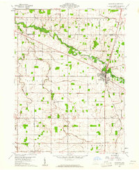
1960 · Rockford
USGS Topo · 1:24,000
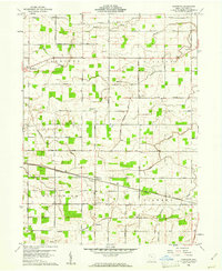
1960 · Glenmore
USGS Topo · 1:24,000