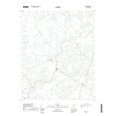
2019 Map of Wilmar
USGS Topo · Published 2019About this map
Wilmar and Elmira Crossroads sit at the center of this coastal plain landscape where the border of Beaufort Co and Craven Co cuts diagonally across the lowlands. The geography is defined by an extensive network of named wetlands, including the massive Thorofare Swamp and the drainage of Chicod Cr. These swamps dictated the historical development of the region, forcing settlements and roads to follow the slightly higher ground between the Clayroot Swamp and Pollard Swamp systems.
Find a feature on this map
46 named features on this map. Tap any name to fly to it.
Don’t see what you’re looking for? This feature index may not catch every label — zoom into the map to look around manually.
Map Details
Editions of this 2019 Wilmar Map
This is the sole edition of this map. No revisions or reprints were ever made.
Other maps of this area

1902 · Ayden
USGS Topo · 1:62,500

1902 · Vanceboro
USGS Topo · 1:62,500

1903 · Winterville
USGS Topo · 1:62,500

1903 · Chocowinity
USGS Topo · 1:62,500

1904 · Ayden
USGS Topo · 1:62,500

1904 · Vanceboro
USGS Topo · 1:62,500

1905 · Chocowinity
USGS Topo · 1:62,500

1905 · Winterville
USGS Topo · 1:62,500

1905 · Vanceboro
USGS Topo · 1:62,500

1951 · Hackney
USGS Topo · 1:24,000